Digital Documentation
Batroun's Iron Age Maritime Wall
Year 2021Location Batroun, LebanonStatus Realized
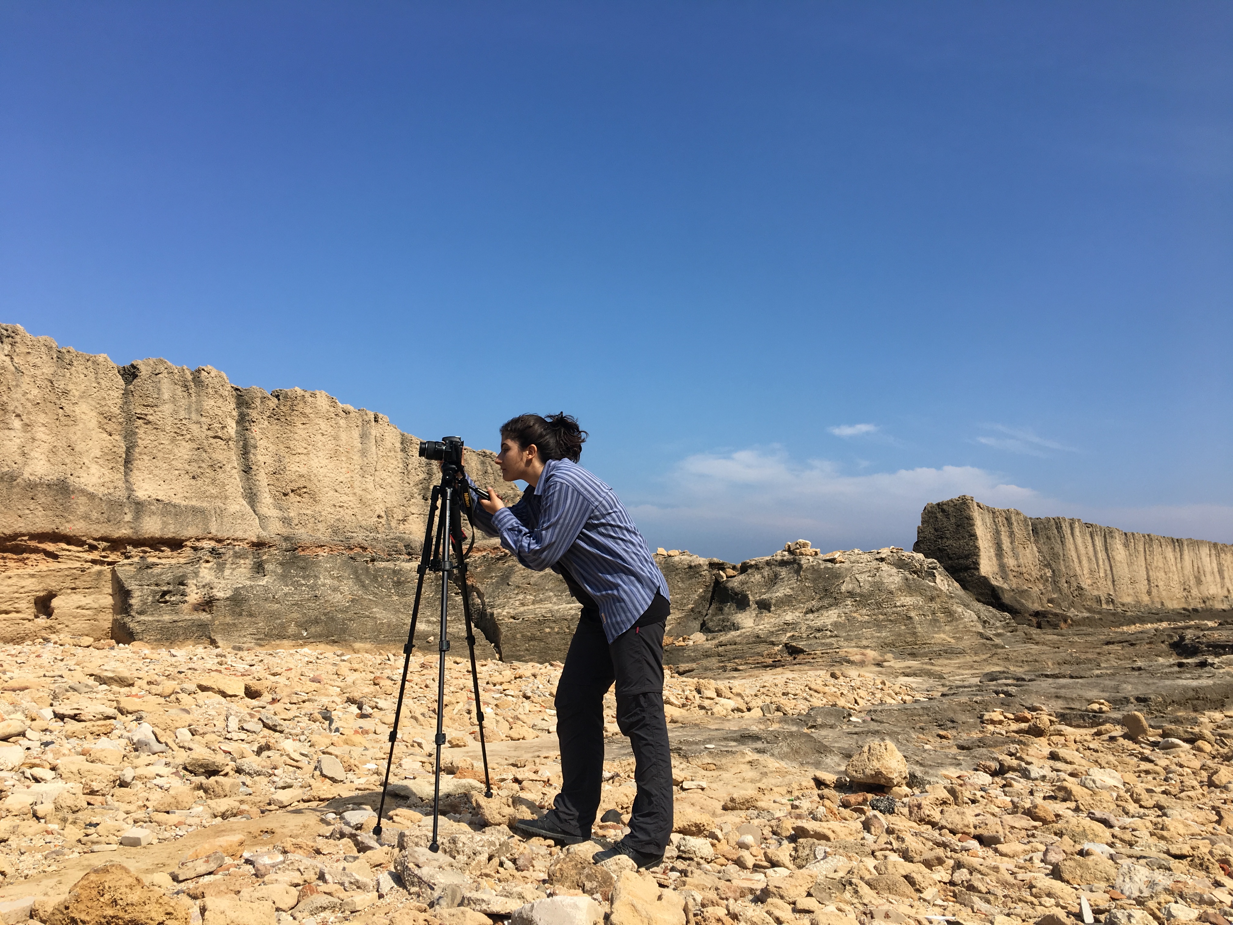
Documentation of the historic maritime wall on Batroun's shoreline, among the longest surviving Iron Age sea defenses on the Lebanese coast. The survey combined georeferenced photogrammetry with a dense network of ground control points, captured through a mix of handheld camera work, drone flights, and boat-based imaging from offshore to record the wall's full seaward face.

